


When human-driven cars hit public roads more than a century ago, cities and road authorities quickly established they needed a clear and open way to communicate the rules of the road to drivers. This played out through physical signs, road striping and written drivers manuals becoming the preferred method for communicating rules and restrictions to support safe and effective movement on roadways. Over the decades, signs have improved (more reflective, dynamic, and in some instances connected), as has lane striping (better paint, reflective bumps and rumble strips) and drivers manuals have gone digital. But, these mechanisms for communication are centered on open communication in the physical world.
This has been (largely) effective communicating with human drivers but it’s proven a largely inefficient way to communicate rules to an automated vehicle. Absent a digital version of these rules, as AVs have hit public roads and HD maps have been built to support their operation, they have addressed the need for rules data as part of the semantic layer in the map stack by using the tools available. This approach uses onboard sensors to scan the environment, identify objects, create a “bound box” around that object, send that image to a human to classify as part of the machine learning process, improve the algorithm the automated driving system uses to identify objects itself, manually correct instances where the vehicle is not sufficiently confident of the object detected, and then have a human oversee the vehicle’s operation to flag instances where a rule has been incorrectly assessed (phew, I’m tired just typing that). This is a time consuming, resource intensive and ultimately, imprecise way to establish a data set that is essential to safe and effective vehicle operation.
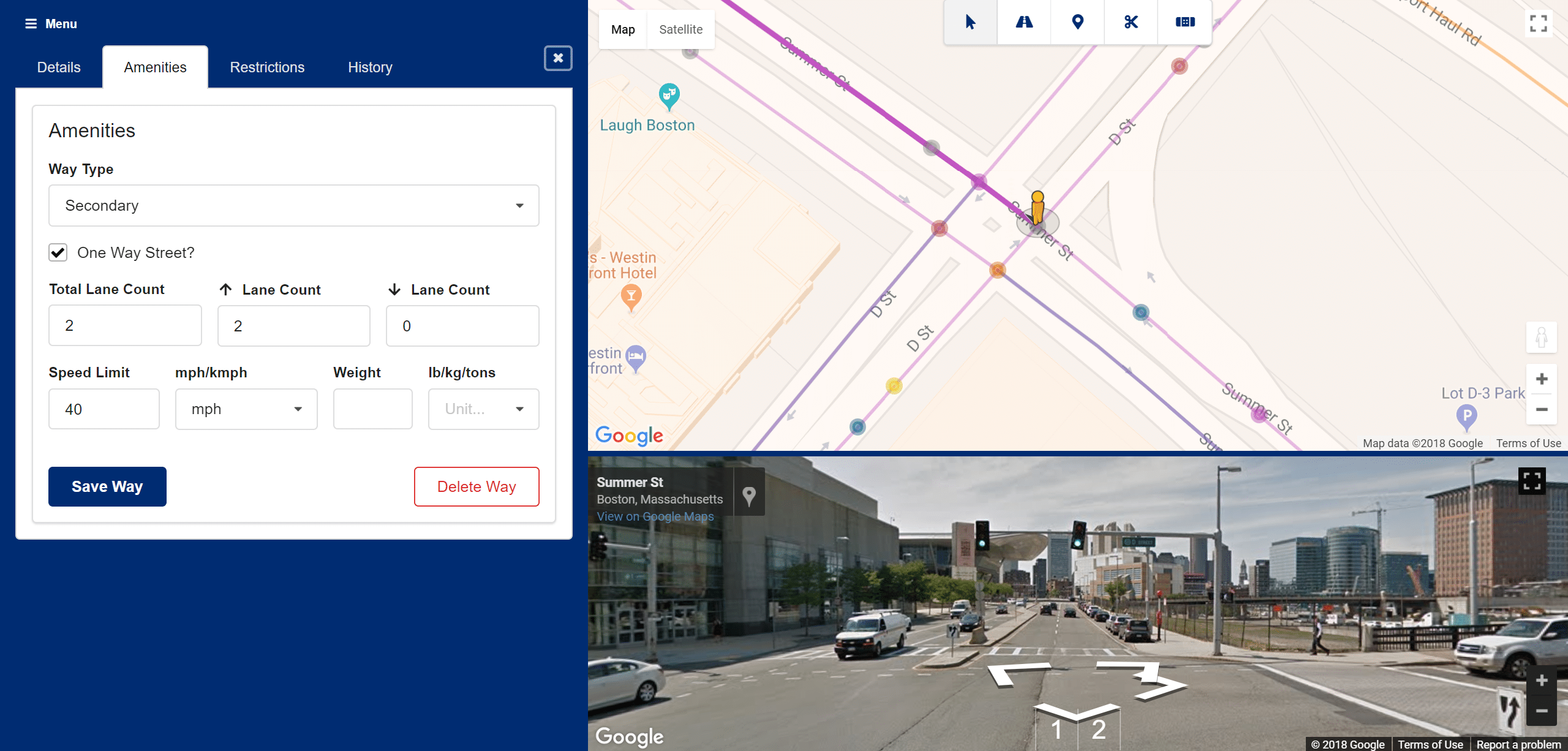
To fill this need, last year we introduced INRIX AV Road Rules as a framework for cities and road authorities to build a digital representation of the traffic rules and restrictions for their roadways. This data is assigned, validated and managed by the authority able to establish rules as correct. It is then made available to automated vehicle operators to inform how they operate on public roads. The AV Road Rules API was designed to be open but, absent a standard for this sort of data, an INRIX format had to be used and then conflated to individual maps.
INRIX has recently taken an important step to make the rules data available through the AV Road Rules platform truly open. Last month, we announced a partnership with SharedStreets, the first-of-its-kind transportation data standard for public-private collaboration designed to make it easier for the private sector to work with cities around the world to improve urban mobility. SharedStreets have developed a common reference language that allows different data sources to be converted into a mutually readable, shared, global standard, which promotes interoperability and helps the public and private sector more effectively collaborate.
This was a natural fit with what INRIX has set-out to achieve in creating an interface for the public and private sectors to share critical information, and we’re excited for the new doors this opens for us to more broadly and easily share rules of the road more broadly with AV operators.