The Genesee Transportation Council’s (GTC) Transportation System Management and Operations (TSMO) Program is focused on facilitating and coordinating interagency, multi-modal, and multi-jurisdictional TSMO supportive initiatives.
Specific activities included implementation of the ITS Strategic Plan, updates and maintenance of the regional ITS Architecture, and developing and updating the Congestion Management Process.

The Challenge
The Transportation Management Committee (TMC) provides a forum for discussion topics such as major construction updates, incident management, and policy/programming activities. The TMC requested GTC prepare an analysis of the impacts of a severe crash that took place on July 8, 2013 that necessitated the closure of travel lanes in both directions on a section of NYS Route 590 within the I-490/I-590/NYS Route 590 interchange. By comparing this data, differences in traffic conditions between the two days illustrate the impacts of this incident on traffic operations in the interchange and on roads in the vicinity of the crash site. GTC did not have a turn-key solution in place that would enable the organization to measure and perform this level of analytics on the impact of a major roadway incident. GTC looked to INRIX to provide before and after analytics on the tanker truck crash that occurred on July 8, 2013.
The Solution
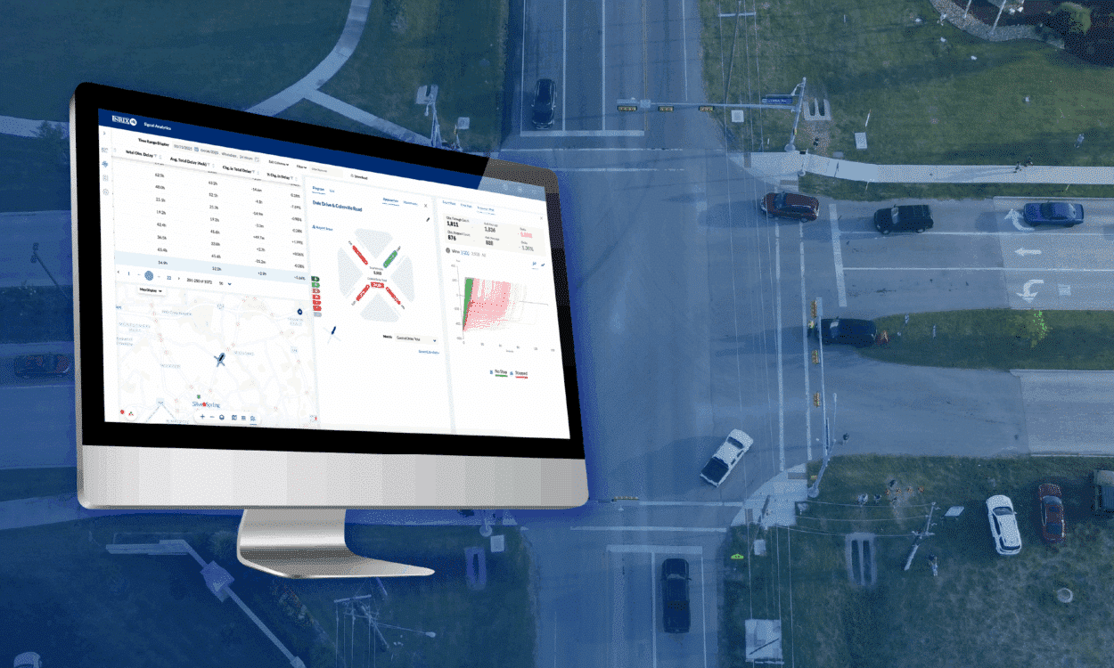
GTC employed INRIX Analytics for real-time, vehicle probe-based travel data. INRIX Analytics uses include measuring road network performance, replacing the floating car data method and specialized analyses conducted either at the request of partner agencies or as identified by staff. INRIX Analytics provides instant access to system-wide independent performance metrics to help agencies analyze before and after scenarios, events, and use data to perceive trends. It also allows agencies to compare congestion levels from year to year, day to day.
Example Incident
Tanker Truck Crash The subject incident occurred on Monday, July 8, 2013, just after 1:00 p.m. A tanker truck transporting liquefied food waste rolled over the concrete barrier on the flyover ramp connecting I-490 westbound with I-590 southbound. The tanker landed in the northbound lanes of I-590 on top of a box truck. The debris field spanned about 1,000 feet on both the northbound and southbound lanes of I-590. I-590 was closed for about eight hours, through the evening peak period. The tanker truck’s driver was seriously injured and sadly the driver of the box truck was killed.
Results
The purpose of the incident analysis was to determine the geographical and temporal extent of the incident impacts. Essentially, this meant comparing the theoretical impacts, as identified by the TDM outputs, with the actual impacts, as identified by INRIX Analytics data. Never before had GTC been able to compare the TDM outputs with vehicle probe data to see how estimated travel patterns matched measured travel patterns. The analysis involved three specific tasks:
1. TTI Comparison:
The first task was to compare TTI from the incident date, the second Monday in July 2013, with the control date, the second Monday in July 2012. This table shows the time of day along the X axis, and the TTI along the Y axis. It shows strong consistency between the TTI values for most of the incident date, however, you can see the impacts of the incident on traffic in the early afternoon.

This table also shows the incident impacts on NYS Route 590 South. In addition, you’ll notice recurring congestion in the morning hours-this is a reflection of regular commuter traffic that backs up on this section of the road.

2. Map TTI Values
This map shows TTI on the control date. The key point is that the expressways, I-490, I-590, and NY 590, all show very good TTI – around 1 to 1.05, or in some cases below 1. This is typical of midday conditions on Rochester area expressways. The arterial roads show more congestion

This map shows the TTI on the day of the incident. The impacts of the crash are most noticeable on I-590 North and NY 590 South. Traffic on I-490 continued moving relatively well during the incident, however some increase in TTI is observable as a result of traffic not being able to exit I-490 to I-590 South or NY 590 North.


3. Travel Demand Model (TDM)
Runs The TDM depicts significant changes on I-590 and NYS 590. You can clearly see the decline in volume as the TDM diverts traffic to alternate routes. You can also see how congestion increases on normally congested segments on NYS Route 590 South and on some of the ramps within the interchange. Volume on I-490 remains relatively consistent, as does the Volume/Capacity ratio (V/C). This reflects the vehicle probe data findings, which show low TTI values in the same areas. This segment of NY Route 590 South is one of the few locations of recurring congestion in the area due to commute patterns.
The V/C ratio is the number of vehicles at a snapshot in time divided by the capacity of the roadway. V/C is generally reported as a decimal, e.g. 0.8 or 1.2 and then categorized into a level of service ranging from A (free-flowing) to F (extremely congested).

Key Learnings
The goal of the assessment was to better understand the impacts of this incident on traffic movements within and around the interchange and compare overall travel patterns resulting from the incident, not a specific performance measure. This was the first opportunity GTC has had to compare the theoretical impacts of a major traffic incident (the TDM results) with the actual impacts of that incident as recorded through vehicle probe data.
Its findings can be used to better understand the impacts of the crash on traffic movements within and around the interchange and strengthen the coordination between transportation system operators and emergency responders.