INRIX analyzed trillions of anonymous location-based data points in Minneapolis, New York, Oakland, Seattle and Washington DC to understand what impact a variety of different COVID-19 ‘Safe Street’ programs had on mobility trends.
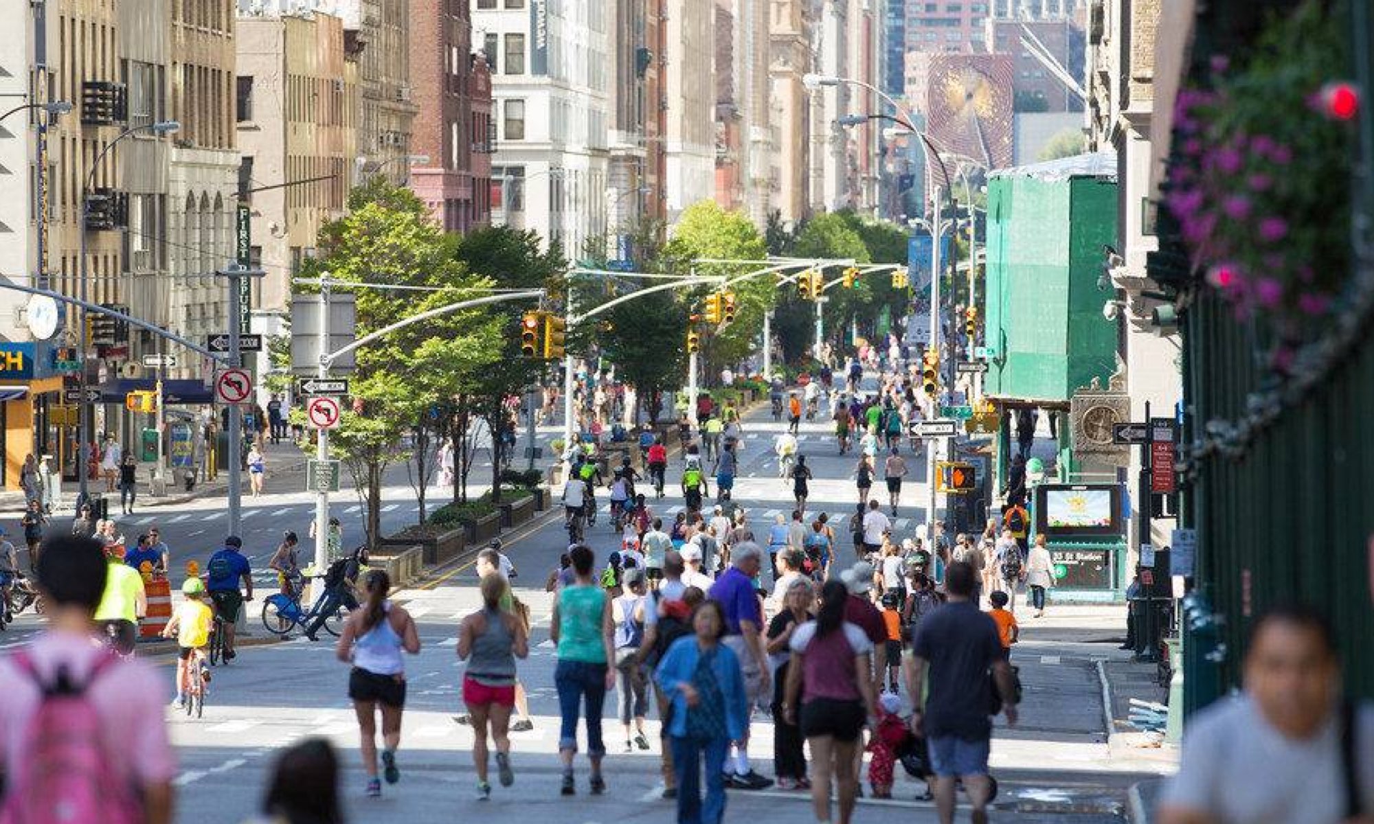
Since health officials imposed COVID-19 restrictions on public and private gatherings, road authorities across the world have implemented several policies to promote social distancing, cycling and walking, all while decreasing car use on a particular street.
Leveraging INRIX Visit Analytics and INRIX Trip Trends, we examined changes in pedestrian behavior, trips and vehicle miles traveled (VMT) to better understand the outcomes of different COVID-19 “Safe Street” programs.
This report illustrates the different ways that location-based data can be used instead of in-field workers to monitor, measure, and understand the real-world impact of mobility improvement programs like “safe streets”.

What You’ll Learn:
> How the utilization COVID-19 “Safe Streets” programs varied significantly by project type, purpose, design and user demographics.
> How activity on COVID-19 “Safe Streets” compared to the overall activity in the rest of the city.
> How location-based data can be used instead of in-field surveys to monitor, measure, and understand the real-world impact of mobility improvement programs like “safe streets”.

