


Over the past decade a lot of ink has been spilled and expert panels have been assembled on the topic of how cities can “reimagine” the use of their curb. This reimagining has hinged on the recognition that city curbs, as a finite resource facing growing demand, are frequently underpriced and have become a chokepoint for roadway users. Often the concept of curbside management is presented as binary and includes the subtext that cities haven’t been in the business of managing the curb for more than a century. Whether it’s taxi stands, fire lanes, commercial loading zones, bus stops, no standing sections, limited personal vehicle parking, electric vehicle charging stations or crosswalks, cities are no strangers to making conscious decisions about how to match limited curb space with the safety, economic and convenience needs of their communities. What has changed, is the volume of new modes and models vying for access to the curb, and the expectation by the public that cities should be keeping up with these shifting needs.
The spat of transportation trends like dockless bikes and scooters, the ecommerce boom, the rise of transportation network companies (e.g. Lyft and Uber), the explosion of app-based delivery services (e.g. Uber Eats, Grubhub, Doordash, and Instacart), has driven the sense of urgency around curbside management in smart cities discussions, and has been met by a growing appetite by cities to think nimbly to respond to a shifting landscape. This includes action by cities like Washington, D.C., Miami, Boston, San Francisco, and many others to:
- pilot dedicated pick-up/drop-off locations for TNCs
- show a renewed focus on improved and expanded infrastructure for vulnerable road users (e.g. bike lanes… particularly protected bike lanes)
- support limited-duration pilots for dynamic pricing and management of the curbside in a handful of markets
- even out–of–the box repurposing like in dining (Portland, ME), greenspace (NYC) or art (our nation’s capital).
In the vast majority of these instances, the limiting factor hasn’t been the willingness of cities to think creatively and act quickly, it’s been the lack of framework to make, manage and communicate these changes to road users. For example, in each of these instances a new concept was paired with a traditional mechanism for implementing: signs, paint, announcements and maps detailing where the changes were taking place.
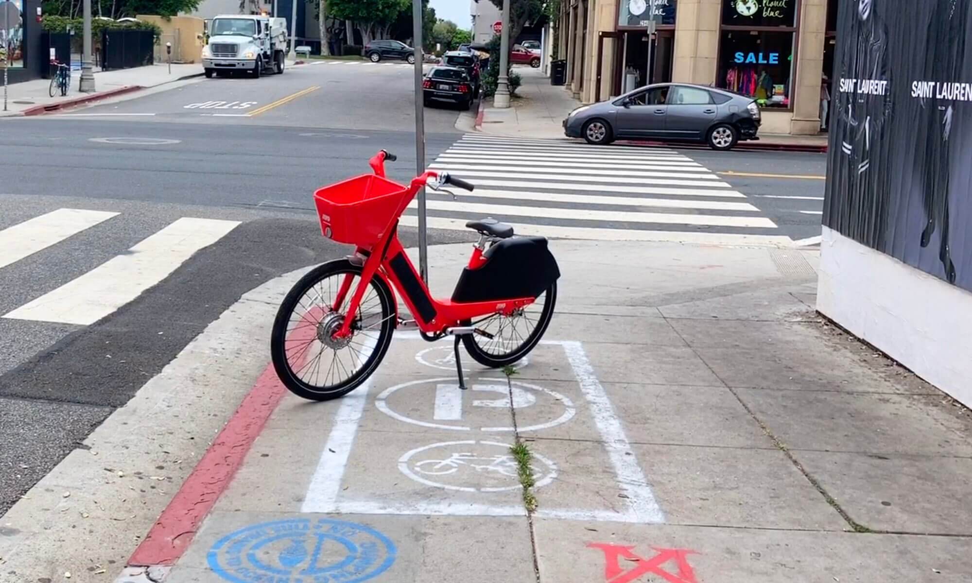
With the onset of COVID-19 these types of public right of way reallocations have shifted from an expectation for change that was measured in months, to one that is measured in days. With dramatic drops in vehicle traffic, radical declines in parking demand, sharp rise in demand for delivery services, and the need for social distancing, we’re seeing an unprecedented shift in how people interact with the public right of way. This brings an equally unprecedented expectation (and opportunity) for cities to respond to these changes in use with subsequent changes in regulation. A number of cities like Austin, TX and Bellevue, WA have been quick to respond by reallocating suddenly underutilized on-street parking spaces to meet the jump in demand for local restaurants offering curbside pick-up or delivery. Other cities, from Burlington, VT to Bogata to Brookline, MA (and even some non-B-named cities) have taken steps to expand pedestrian and bike ways into space previously reserved for cars.
The limiting factor impacting these changes has not been political will, or quick action, but rather the ability to communicate these (often) overnight changes in configuration of the public right of way to road users. Absent a digital mechanism to do this centrally and openly, cities have had to resort to more traditional methods such as road cones, temporary signs, annotated maps, or descriptions posted on city websites. The challenge with all of these mechanisms is that it’s not how many users consume and leverage information in today’s connected world. Food delivery services, navigation providers, bicyclists and pedestrians alike expect this information to be communicated digitally, so they can appropriately assess, integrate and adjust their behavior to changes to the streetscape.
INRIX Road Rules, initially launched to deliver city-validated rules to automated vehicles, has been expanded to support an easily accessed central repository of rules (roadway, curbside, and sidewalk) for all consumers. This can help play a key role in coordinating this sort of real-time, centralized, and digital communication of the rules of the road. By coupling the traditional tools like signs and road markings with easily accessible digital records of those rules cities can more effectively share the changes they implement in response to shifting transportation demand to better serve constituents.
To support this open forum for rules sharing, INRIX has made it free to get started inputting and communicating key rules for the public right of way. If you’re a city looking to join the growing family of Road Rules users, sign-up here and we’ll be happy to get you up and running!