
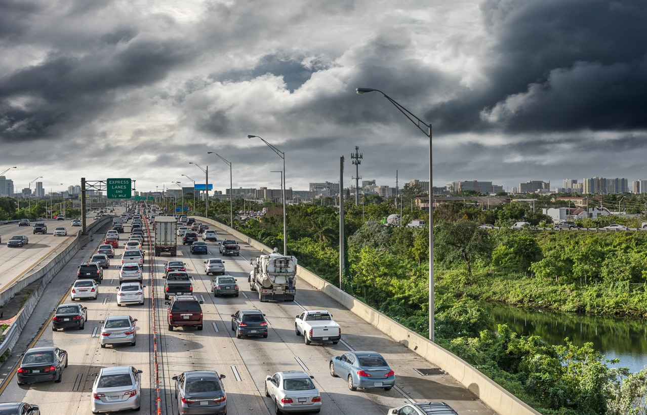


When a natural disaster strikes, transportation systems quickly become more than roads, highways and intersections. They become lifelines.
Whether communities are facing wildfires, floods, tsunamis, severe storms or other emergencies, the ability to move people safely and efficiently can directly affect lives, property and recovery efforts. This was a central theme of Ahmed Darrat, Chief Product Officer at INRIX, during his presentation to the Washington Transportation Commission on Emergency Management and Evacuation Modeling. The presentation explored how real-time transportation intelligence can help agencies prepare for, respond to and recover from disasters.
The Growing Challenge for Transportation Agencies
The presentation highlighted an unmistakable trend: natural disasters are becoming more frequent and severe. Transportation agencies now find themselves on the front lines of emergency response, often making critical life-safety decisions across multiple jurisdictions while conditions evolve rapidly.
Yet many agencies continue to face a common challenge. When disaster strikes, decision-makers often lack a complete picture of what is happening across the transportation network. They may not know:
- Where travelers are headed
- Which corridors are becoming congested
- Which routes remain passable
- How evacuation traffic is progressing
- Where emergency response may be impeded
Without this visibility, managing evacuations and emergency operations becomes significantly more difficult.
Transportation Data Has Become a Public Safety Tool
Traditionally, transportation data has been used to improve travel times and reduce congestion. Today, it is increasingly being used to protect lives.
The presentation demonstrated how probe vehicle data and real-time traffic analytics provide transportation agencies with operational awareness during emergencies. Rather than relying on scattered reports or limited field observations, agencies can use mobility intelligence to understand how an entire regional transportation network is performing in near real time.
This information supports critical decisions such as:
- Selecting evacuation routes
- Managing road closures
- Resource deployment
- Traffic signal adjustments
- Public traveler information
- Emergency response coordination
The result is a more informed and coordinated response across transportation, public safety and emergency management agencies.
Learning from Real-World Disasters
To illustrate the value of transportation intelligence, the presentation examined three recent emergency events that INRIX analyzed using mobility data.
Wildfire Evacuations in Southern California
The January 2025 Palisades Fire demonstrated how quickly evacuation demand can overwhelm transportation infrastructure. Thousands of residents attempted to leave endangered areas simultaneously, causing severe congestion along a limited number of evacuation routes. Some roadways became nearly impassable, slowing both evacuees and emergency responders. More information on insights from the Palisades Fire can be found in the Learning from the Palisades Fire: How Data Can Save Lives in the Next Evacuation.
Using INRIX data, researchers identified evacuation patterns, measure roadway performance and pinpoint bottlenecks that contributed to network breakdowns. The analysis showed how traffic conditions deteriorated within minutes of the fire being reported and highlighted opportunities to strengthen future evacuation planning.
Additional INRIX-supported research in the Detecting Vehicle Abandonment During Wildfire Evacuations blog examined the impact of abandoned vehicles during the evacuation. Researchers found clusters of abandoned vehicles along major corridors, demonstrating how even a small number of disabled or abandoned vehicles can significantly reduce roadway capacity during a crisis.
Flooding in Western Washington
Flooding presents a different set of challenges than wildfire. Roadway conditions can change repeatedly as water levels rise or recede. During Snoqualmie River flooding events in December 2025, key corridors experienced alternating closures, partial restrictions, and reopening periods over multiple days.
Real-time transportation intelligence allowed agencies to monitor changing traffic patterns and understand how travelers adapted as roadway conditions evolved. This type of situational awareness is essential when conditions remain fluid for extended periods.
Tsunami Evacuation Activity in Hawaii
The presentation also examined a tsunami warning that affected Oahu in July 2025. Unlike weather events that evolve over hours or days, tsunami evacuations often require immediate action from large populations within highly constrained timeframes. Understanding how populations move during these events can help emergency managers identify bottlenecks, prioritize communication efforts and improve future evacuation strategies.
Supporting the Entire Emergency Management Cycle
One of the presentation’s key messages was that transportation intelligence provides value before, during and after a disaster.
Before an emergency, agencies can analyze historical mobility patterns to identify vulnerable corridors, evaluate evacuation routes and test emergency response scenarios. During an event, real-time traffic and probe data help agencies monitor operations and adapt as conditions change. Afterward, transportation data supports after-action reviews that identify what worked well and where improvements are needed.
This approach aligns closely with the FEMA emergency management framework, where planning, operational execution and post-event evaluation all contribute to continuous improvement.
The Future of Emergency Management
As climate-related disasters become more frequent, transportation agencies will play an increasingly important role in protecting communities. Success will depend not only on infrastructure but also on timely, actionable information.
The technology already exists today to provide agencies with a common operating picture of transportation network performance during emergencies. By combining real-time traffic data, probe vehicle intelligence and advanced analytics, agencies can better understand travel behavior, manage evacuations, support first responders and accelerate recovery efforts.
The key takeaway is simple but powerful: transportation data is no longer just a planning resource. It has become an essential public safety tool. Communities that leverage mobility intelligence before disaster strikes will be better prepared to protect lives, maintain mobility and recover more quickly when the next emergency occurs.
Learn more about the presentation here.