


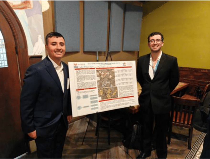
In January, we had the opportunity to present our research at the Transportation Research Board (TRB) Annual Meeting as part of the poster session for the 2025 INRIX x MetroLab Challenge.
Representing the Gerald May Department of Civil, Construction, and Environmental Engineering at the University of New Mexico (UNM) and the Center for Pedestrian and Bicyclist Safety (CPBS), our team shared our work at the poster session. Alongside other student researchers, we demonstrated how high-resolution INRIX data can inform real-world transportation safety and policy decisions.
The 2025 INRIX x MetroLab Challenge is a partnership that brings together students, researchers, public agencies, and transportation experts to explore how data-driven analysis can be translated into actionable insights for improving urban mobility and public decision-making. For our team, the 2025 INRIX x MetroLab Challenge provided a valuable platform to showcase research focused on a pressing safety issue: understanding where crashes involving freight vehicles and vulnerable road users (VRUs) cluster and how those patterns evolve.
Studying Freight: VRU Safety in a High-Risk Context
We chose this project because it sits at the intersection of freight transportation, safety, and public policy, while addressing a growing public health concern in the U.S.: road traffic trauma, particularly for pedestrians and bicyclists. This issue is especially critical in New Mexico, where VRU risk remains among the highest nationwide. This issue is especially relevant in New Mexico, where VRU risk is among the highest nationwide, underscoring the need to understand how freight activity and VRU exposure overlap on the network.
A key finding from our analysis is that fatal crash hotspots involving freight vehicles and VRUs tend to occur on road segments with substantially higher ADT than hotspots for injury or non-injury crashes, highlighting a strong relationship between crash severity and exposure. In Albuquerque, we also observed that crash hotspot locations tend to exhibit higher average median speeds than non-hotspot areas, suggesting that operating speed may play a role in shaping risk at freight and VRU intersections. Finally, by distinguishing hotspots that are emerging, persistent, or decreasing over time, our results provide decision-makers with actionable insight into where intervention urgency may be greatest.
Leveraging INRIX Data to Move Beyond Crash Counts
The most valuable INRIX resource for our research was the network-level performance indicators, which allowed us to characterize operating conditions on the roadway system, particularly Average Daily Traffic (ADT) as an exposure measure and speed indicators as an operational measure. These datasets were essential because they enabled us to move beyond identifying where crash hotspots occur and instead quantify the underlying conditions of the network segments associated with different hotspot types.
We were particularly struck by the presence of a noticeable number of new hotspots, which indicate locations where crashes increased most recently (i.e., in the last year of the analysis window). This was striking because it suggests that risk is not only persistent in specific corridors but can also emerge quickly.
Insights That Emerged Through Mapping Risk
One of the most surprising takeaways was not that the main findings were counterintuitive; many of the strongest relationships, such as higher exposure being associated with more severe outcomes, align with what we would expect. However, it was how clearly the spatial and temporal structure of risk emerged once we mapped it. In particular, seeing hotspots concentrate in distinct urban contexts, and how those patterns differed when comparing statewide results to the Albuquerque network.
We were particularly struck by the presence of a noticeable number of new hotspots, which indicate locations where crashes increased most recently (i.e., in the last year of the analysis window). This was striking because it suggests that risk is not only persistent in specific corridors but can also emerge quickly.
From Research to Policy-Relevant Applications
As part of the CPBS, we focus our research on ensuring that findings translate into actionable guidance for practice. This research will produce a report and a series of presentations to the public sector and academia to disseminate the research results. The most immediate application of the research is providing agencies with a clear, defensible way to identify where freight–VRU crashes concentrate and how those concentrations behave over time, whether hotspots are emerging, persistent, or diminishing, which helps prioritize locations based on the urgency of intervention rather than only historical totals.
By pairing hotspot classifications with network indicators such as ADT and median speed, we included operational and exposure context that supports more targeted countermeasure selection and corridor-level strategies. These key stakeholders, such as state and local transportation agencies, metropolitan planning organizations, traffic engineering and active transportation teams, and broader safety partners involved in enforcement and public health, prioritize locations based on urgency and risk dynamics, rather than relying solely on historical crash totals.
Looking Ahead
The feedback we received at the 2025 INRIX x MetroLab Challenge emphasized the value of combining spatiotemporal hotspot analysis with network performance data to make safety insights more actionable for practitioners. Several conversations focused on the need for agencies to move from “interesting patterns” to clear corridor-level guidance, including which corridors should be prioritized and the rationale behind those priorities.
For next steps, we plan to link hotspot locations to socioeconomic and built-environment contexts using U.S. Census data to understand the correlation between socioeconomic characteristics and hotspot behavior. In addition, through CPBS’s collaboration with the University of Tennessee, we plan to replicate this workflow in Tennessee and the Nashville metropolitan region, enabling cross-region comparisons and strengthening the broader applicability of the methods. Presenting and researching for the 2025 INRIX x MetroLab Challenge reinforced the impact that data-driven research can have on real-world transportation policy.
Learn more and apply here for the 2026 INRIX x MetroLab Challenge.