
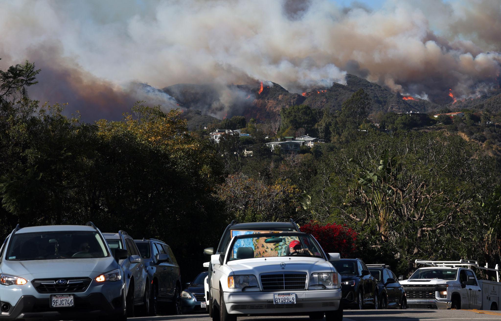


Wildfires are no longer rare, isolated emergencies. They are becoming more frequent, destructive and more complex to manage, especially across the western United States. For transportation agencies, emergency managers and first responders, one lesson is increasingly clear: evacuation planning is transportation planning.
When wildfire conditions change quickly, roads become lifelines, and the ability to understand how people are moving in real time can directly affect public safety.
Transportation Networks Become Critical Infrastructure
INRIX’s recent work on emergency management and evacuation modeling highlights a critical challenge facing public agencies: during disasters, transportation networks become essential infrastructure, yet agencies are often forced to make life-safety decisions with limited visibility into where people are going, how fast they are moving, which routes are congested and which roads remain usable.
Learning from the Palisades Fire
The Palisades Fire in Southern California is one of the clearest recent examples of why this matters. On January 7, 2025, wildfire threatened Pacific Palisades, a Los Angeles neighborhood constrained by the Santa Monica Mountains, dense development and limited evacuation routes. Extreme drought and high winds accelerated the fire’s spread while thousands of residents attempted to leave simultaneously. Traffic volumes quickly exceeded roadway capacity, creating severe bottlenecks that limited both evacuation and emergency response. As explored in the Learning from Palisades Fire: How Data Can Save Lives in the Next Evacuation blog, the event demonstrated how mobility data can reveal evacuation challenges and identify opportunities for improvement.
Using INRIX data, researchers from the University of Maryland CATT Lab analyzed evacuation travel patterns and matched them to the physical road network. Their work showed how quickly traffic conditions deteriorated after the fire was reported and identified six major bottleneck locations along evacuation routes. The analysis demonstrated how understanding travel demand, route performance, and roadway constraints can help transportation engineers and emergency managers improve future evacuation planning.
Measuring Vehicle Abandonment
Another INRIX-supported research effort focused on one of the most dangerous outcomes of a failed evacuation: vehicle abandonment. During the Palisades wildfire, media reports documented evacuees leaving cars behind on major corridors and continuing on foot. A 2025 INRIX MetroLab Challenge research team used high-resolution INRIX trajectory data to study where and when vehicles stopped and failed to resume travel during the evacuation period.
Their findings showed spatial and temporal clustering of potential abandoned vehicles along corridors such as Sunset Boulevard and Palisades Drive, with abandonment risk shifting over time as evacuation conditions changed. These findings are explored in greater detail in the blog Detecting Vehicle Abandonment During Wildfire Evacuations.
This research matters because even a small number of abandoned vehicles can significantly disrupt traffic flow, block emergency access and increase risks for evacuees and first responders. Vehicle abandonment is often discussed anecdotally after disasters, but INRIX trajectory data helped researchers move from anecdote to measurement — identifying patterns that can inform evacuation design, traffic management and emergency response strategies.
Before the Fire: Planning with Historical Data
Wildfire planning should begin well before evacuation orders are issued. Agencies can use historical speed, trip path, origin-destination and incident data to identify likely chokepoints, test evacuation scenarios, understand normal versus abnormal roadway performance and prepare alternative routing strategies.
The INRIX and MetroLab’s 2025 Challenge identified datasets including trip origins and destinations, trip paths, historical speeds, real-time traffic incidents, dangerous slowdowns, volumes and speed distribution profiles as tools researchers can use to study modern transportation and resilience challenges.
During the Fire: Real-Time Operational Awareness
During an active wildfire, real-time visibility becomes even more important. Congestion alerts, incident information and routing intelligence can help agencies monitor traffic conditions, identify severe traffic impacts and support route planning around roadway disruptions. INRIX documentation describes safety alerts and incident data that can be used to display roadway incidents on a map, create routes that avoid affected areas, alert travelers to upcoming hazards and support real-time rerouting when severe incidents or closures occur.
Building More Resilient Communities
The takeaway for wildfire-prone communities is straightforward. Preparedness is not only about emergency alerts, defensible space and shelter plans. It is also about understanding the transportation system before a crisis, monitoring it during an emergency and learning from it afterward. With mobility data, agencies can identify bottlenecks, evaluate evacuation routes, improve communication with the public, support first responders and strengthen after-action reviews.
As wildfires grow more severe, data-driven evacuation planning must become a core part of community resilience. The success of the next evacuation will depend not only on how quickly people are told to leave, but also on whether the transportation network can move them safely out of harm’s way.