
Cities
Solutions to Help You Manage the
Evolving Mobility Needs of Today and Tomorrow
We are helping cities use big data to improve the movement of people and goods to become safer, happier, and greener.
Our cities and roadways are becoming more crowded and without action the problem will only get worse.
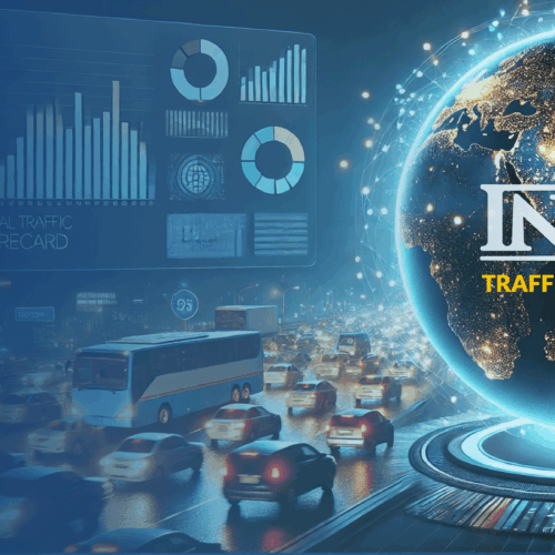
Faced with the prospect of global gridlock, the future of mobility will depend on big data and predictive analytics to outsmart traffic and optimize our cities and roadways.
We are bridging the gap between cities, big data, and smart mobility to help you build a better tomorrow.
Sign Up To See For Yourself
Our cities and roadways are becoming more crowded and without action the problem will only get worse.
Faced with the prospect of global gridlock, the future of mobility will depend on big data and predictive analytics to outsmart traffic and optimize our cities and roadways.
We are bridging the gap between cities, big data, and smart mobility to help you build a better tomorrow.
Sign Up To See For YourselfMobility Intelligence To Make Cities Smarter, Safer, and More Efficient
As populations and cities expand, the future of mobility will depend on smarter solutions to keep the world moving.
Insights To Keep Your City Moving
Traffic, parking, trip, and signal analytics will help you keep your city flowing in perfect harmony.
Save Time & Money On Projects
Analysis that used to take months and cost millions can now be completed in hours with our easy-to-use tools.
Tools To Prepare For The Future
Our easy-to-use tools will help you digitize mobility rules to ensure safe deployment of autonomous vehicles, shared bikes/scooters, and other new mobility options.
Everything You Need To Become A Smart City of The Future
Improve operations, optimize urban mobility, measure project effectiveness, and plan the transportation networks needed for the future.
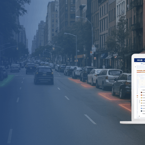
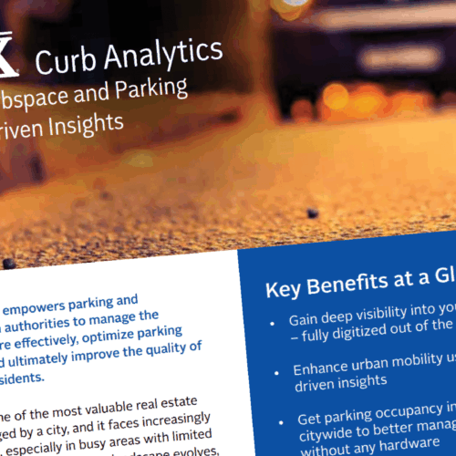
INRIX Curb Analytics
A New Cloud-based Analytics Tool to Manage Curbspace More Effectively and Efficiently.
INRIX Curb Analytics digitizes and visualizes the curbside to help cities maximize accessibility, availability, revenue, and safety for people driving, walking, and riding on micromobility devices.

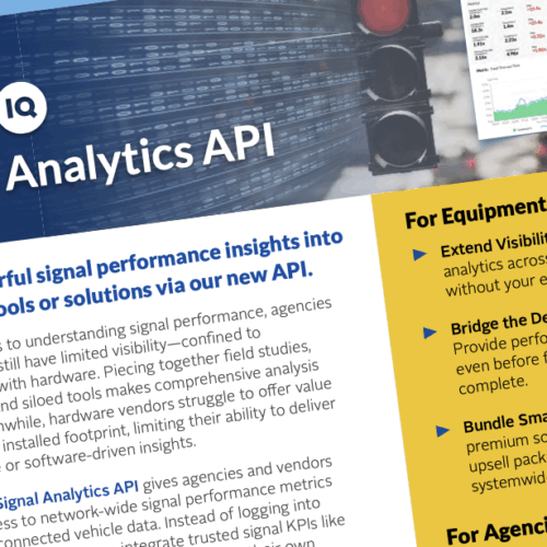
INRIX Signal Analytics™
Easily identify, rank and prioritize intersection signal projects to achieve maximum impact on traffic flow
INRIX Signal Analytics powered by CATT Lab utilizes anonymous data from connected vehicles, eliminating traditional cost and time expenditures for traffic signal improvement.

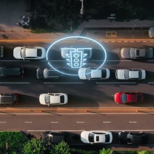
INRIX Roadway Analytics™
Uncover Problem Areas Before They Become A Major Issue
INRIX Roadway Analytics powered by the CATT Lab utilizes anonymous data from connected vehicles to deliver on-demand traffic data, analytics and visualizations that can help you improve roadway performance and urban mobility..
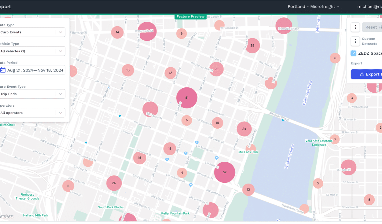
Ride Report
The world of shared mobility, at your fingertips
Ride Report is a shared mobility management platform helping cities launch, manage, and evaluate shared scooter, bike, and car programs. Our tools allow users to manage policies and compliance, analyze historical travel patterns, track and invoice operators for fees, and more.

INRIX Trip Analytics™
Make better decisions by understanding the movement of people through accurate trip analysis
Trip Analytics powered by the CATT Lab provides aggregated insights into the trips and routes people take.
Additional News & Resources


We've help thousands of cities and agencies around the world solve their problems. Read more customer success stories below.
More Success Stories
"Like many cities, traffic in and around Los Angeles has far-reaching impact – not only on commuters, but also to our economy and the environment. With INRIX Roadway Analytics, we’re taking the necessary steps to maximize our efforts to move people and goods through our city."
Tim Fremaux
Transportation Engineer, LADOT
Connect & Learn More
We will be using this information to respond to your request and to send news/information about our products. Please see our Privacy Policy for more information.